Skip to content

Coastal wildbelt

The length of Devon’s two coasts is approximately 280 km.

Devon’s 13 estuaries support internationally important numbers of wintering birds as well as seahorses, shellfish and rare spiders.

Devon’s cliffs and coastal grasslands support rare plants, bees, moths, beetles and flies some of which aren’t found anywhere else in the country.

Coastline near Bigbury, David Chamberlain

Braunton Burrows, Neville Stanikk

Braunton Burrows, Neville Stanikk

Dawlish Warren, South East Devon Wildlife

Dawlish Warren, South East Devon Wildlife

Snapshot

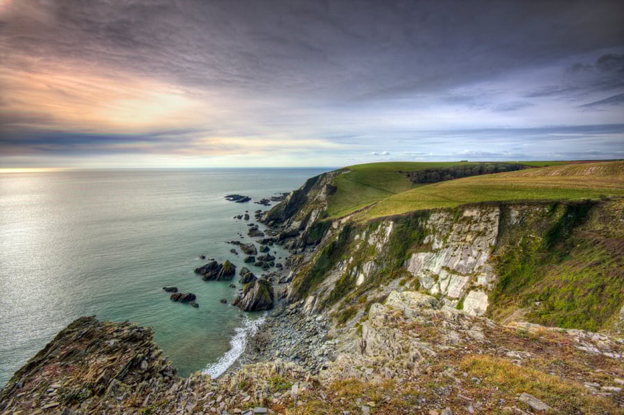
What wildlife-rich looks like:

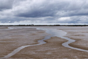
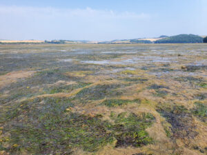
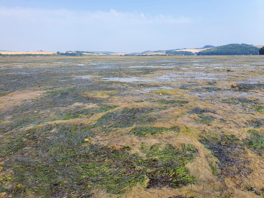
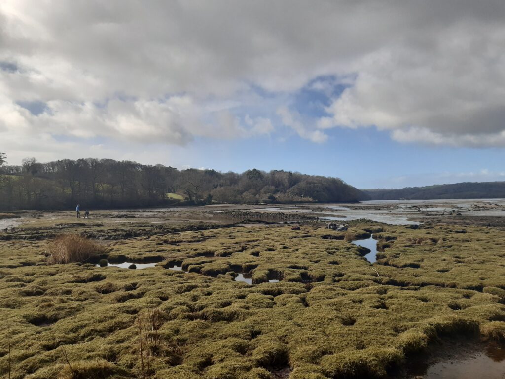
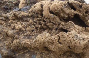
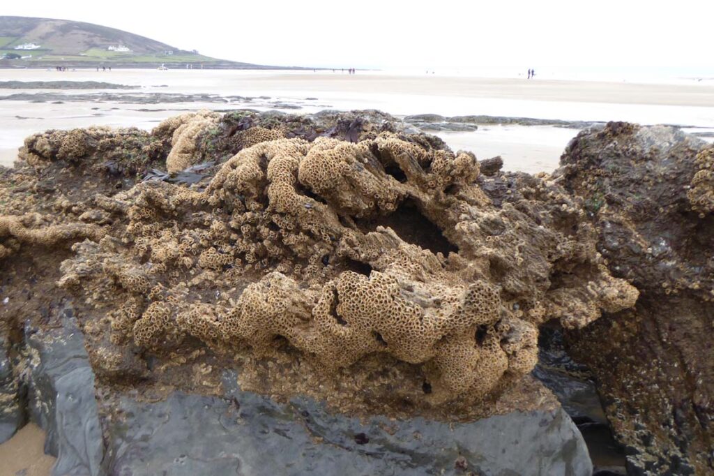
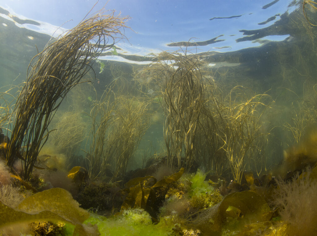
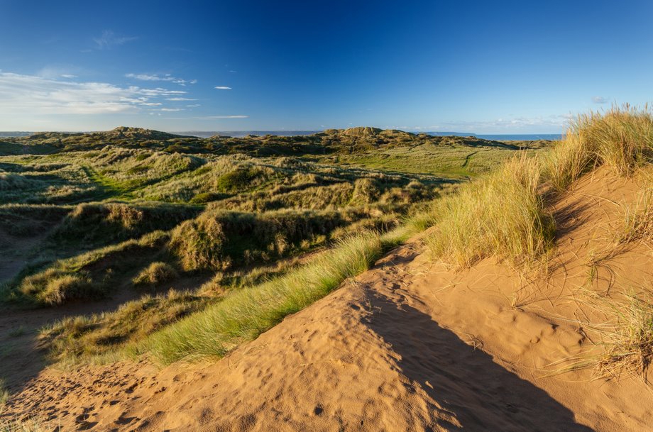
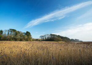
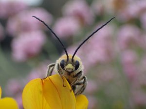
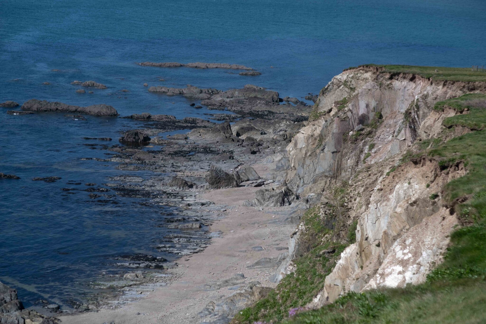
A continual mosaic of healthy coastal wildbelt habitats along our two coasts all influenced by the sea, salt and natural processes. Intertidal habitats are rich in invertebrates providing food for huge flocks of wintering birds. Mudflats, seagrass and oyster beds have been restored. Rare insects, plants, lichens and mosses thrive on Devon’s dune systems and sunny cliff top grasslands. Seabirds nest undisturbed by people on Devon’s cliffs.

Devon Special Species include:

Devon’s coastal wildbelt is home to many Devon Special Species, far too many to list here!

See each habitat description and the species drop down in the About section below.

UK significance:

UK priority habitats: The majority of coastal habitats are classed as UK Priority Habitats. See habitat descriptions in the About section for clarification.

Statutory irreplaceable habitat: Coastal sand dunes.

Wider benefits: Food, carbon capture, health and wellbeing, tourism, flood control, water quality.

1. About

Devon’s two coastlines support an incredible variety of wildlife habitats, all united by their proximity to the sea and its salty influence. These habitats include towering sea cliffs topped by flower-rich coastal grasslands and heaths; intertidal rocky shores and sea caves; coastal reefs and beds created by mussels, oysters and worms; and vegetated shingle beaches.

Devon has 13 estuaries that have evolved in the low-lying areas where rivers meet the sea. Here, softer sediments give rise to mudflats, saltmarshes and seagrass beds. These habitats are rich in invertebrates and support internationally important numbers of wintering birds as well as rare seahorses. Trees growing on the edge of Devon’s estuaries create what are now called temperate mangrove forests and that provide habitat for fish, rare mosses and fungi.

Beyond their ecological value, these habitats play a vital role in protecting the coast from climate change impacts, such as storm surges and sea level rise. They also help control pollution, support fisheries, contribute to carbon capture and storage, and offer significant opportunities for recreation and tourism.

* indicates a UK Priority Habitat

CWB = Coastal Wildbelt

  • Mammals: Grey seals
  • Birds: Estuarine birds and cliff nesting seabirds.
  • Fish: Seahorses, tompot blenny and migratory fish – Allis and twaite shad, Atlantic salmon, brown/sea trout, European eels, sea lamprey, sturgeon.
  • Moths and butterflies: Coastal moth group – including Devonshire wainscott, beautiful gothic, scarce blackneck, everlasting pea blister. East coast moth and butterfly group – including Morris’s wainscott, white spot, Devonshire wainscott, everlasting pea blister and wood white). Sand dune moth group.
  • Bees: Broad-faced furrow bee and buff-banded mining bee (Sidmouth to Dorset CWB), Brown-banded carder bumblebee (Cornwall to Morte Point and Start Point to Bolt Tail CWB) moss carder bumblebee (Cornwall to Morte Point CWB). Six-banded nomad bee and long horned bee (Start Point to Bolt Tail CWB).
  • Flies: northern Devon sand dune flies, Devon red-legged robberfly (Start Point to Bolt Tail CWB). Spanish snout cranefly, least cigar-gall fly and other east Devon undercliff flies (Sidmouth to Dorset CWB). Dawlish Warren mudflat flies.
  • Dragonflies: Norfolk hawker and scarce chaser (ditches in grazing marshes at Exminster Marshes).
  • Beetles: Mediterranean oil beetle and short-necked oil beetle (Start Point to Bolt Tail CWB). A click beetle, Dicronychus equisetioides (dunes in Cornwall to Morte Pt CWB). Cliff tiger beetle (Sidmouth to Dorset CWB).
  • Grasshoppers and crickets: Scaly cricket (Branscombe shingle beach).
  • Spiders: Yellow-striped bear spider (Taw estuary at Yelland). Moon spider and other Prawle cliff spiders (Start Point to Bolt Tail CWB).
  • Crustaceans and myriapods: False flat-backed millipede (Brixton to Start Point CWB around Slapton). Fairy shrimp (Branscombe).
  • Molluscs: Spiny cockle (all estuaries but particularly Salcombe). Celtic sea slug (north Devon rocky shores). Native oyster (estuaries). Sand bowl snail (Braunton Burrows dunes).
  • Intertidal invertebrates: Stalked jellyfish (rock pools and seagrass beds on both coasts). Glaucous pimplet (exposed rocky shores on the north Devon coast).
  • Plants: Rare whitebeams group (TorbayCWB and Morte Point to Somerset CWB). Chalk and limestone coastal plants – Nottingham catchfly, early gentian, white horehound, field eryngo (Sidmouth to Dorset CWB and Braunton Burrows). Torbay limestone specialists. Other coastal plants – shore dock, slender bird’s foot-trefoil, Bithynian vetch, Lundy cabbage. Sand dune plants – sea stock, round-headed club rush, water germander, Warren crocus. Estuarine rushes – Triangular club-rush (Tamar) and Dwarf spike-rush (Aveton Gifford).
  • Bryophytes: Sand dune bryophytes – including rabbit moss, large hookmoss and petalwort. Coastal bryophytes – including cordate beardmoss and Solm’s screwmoss. Bryophytes of south Devon wooded creeks – including awl leaved ditrichum and Turner’s threadwort.
  • Lichens: Maritime lichens group. Braunton Burrows lichens.
  • Fungi: Sand dune fungi group, scaly stalkball, felwort rust. Wetland fungi group.

Marine Management Organisation (MMO) Marine Plans:

The MMO’s marine plans place sustainable development at the heart of decision-making, helping to reduce legal risks and balance social, economic and environmental considerations. For the Devon Local Nature Recovery Strategy, the South West and South Inshore Marine Plans are relevant. All public authorities must comply with these plans, regardless of their proximity to the coast. There is detailed guidance on the Marine planning in England page on the GOV.UK website.

Environment Agency Shoreline Management Plans (SMPs):

SMPs are long-term strategies developed by the Environment Agency and coastal groups to manage the risks of flooding and erosion along England’s coastline. SMPs help guide decisions, such as the adaptation of flood defences, how to protect and restore natural habitats such as saltmarshes and mudflats and how to plan for climate change impacts, including sea level rise.

Devon and Severn Inshore Fisheries and Conservation Authority (IFCA):

The Devon and Severn IFCA is responsible for managing and conserving the marine environment and inshore fisheries across a large district that includes both the north and south coasts of Devon. The IFCA regulates both commercial and recreational fishing through byelaws and permit systems to ensure fish stocks are harvested sustainably.

Devon Estuary Partnerships:

Several estuary partnerships exist in Devon, such as the Exe Estuary Management Partnership, which has been in existence for more than 20 years. The partnerships bring together local authorities, conservation groups, landowners, businesses and community members to manage and protect estuarine environments. 

For more information see Find out more below.

To be added before final publication of the LNRS to ensure that the most up to date information is used from partners such as NE and DBRC.  

Designations

SPA

Exe Estuary (including Dawlish Warren), Tamar Estuaries Complex, East Devon Heaths.

SAC

Blackstone Point; Braunton Burrows; Dawlish Warren; Lundy Island; Lyme Bay and Torbay; Sidmouth to West Bay; South Devon Shore Dock.

RAMSAR

Exe Estuary.

SSSI

Estuarine Sites

Exe Estuary; Tamar-Tavy Estuary; Taw-Torridge Estuary; Kingsbridge Estuary (Salcombe–Kingsbridge); Otter Estuary; Teign Estuary.

Coastal Sites

Axmouth to Lyme Regis Undercliffs; Babbacombe Cliffs; Barricane Beach; Beer Quarry Caves; Berry Head to Sharkham Point; Bolt Head to Bolt Tail; Braunton Burrows; Dawlish Warren; Lundy Island; Prawle Point to Start Point; Slapton Ley; Teignmouth to Dawlish Cliffs; Wembury Point; Morte Point; Hartland Point to Tintagel (partly in Cornwall).

CWS

Coastal saltmarsh: 25 sites and 116 hectares
Intertidal mudflats: 16 sites and 673 hectares
Reedbeds: 14 sites and 68 hectares
Coastal floodplain and grazing marsh: 17 sites and 681 hectares
Sabellaria alveolate reef: 4 sites and 2 hectares
Coastal sand dune: 3 sites and 44 hectares
Coastal vegetated shingle: 1 site and 1 hectare
Maritime cliff and slope: 36 sites and 1,125 hectares

Total: 116 sites and 2,710 hectares

Key pressures and opportunities

Pollutants and contaminants from agriculture, industry and urban areas are carried by run-off and rivers into coastal environments where they’re trapped and stored in the sediments of habitats, such as mudflats and saltmarshes. Plants and microorganisms in these habitats absorb excess nutrients, helping to prevent harmful algal blooms. However, although trapping sediments improves water quality, pollutants can be released back into estuarine environments. Nutrient enrichment can cause phytoplankton blooms that can harm seagrass beds. High pollution levels reduce light penetration and increase fouling algae.

Coastal vegetation, particularly eelgrass, can also accumulate harmful substances such as heavy metals, which can reduce plant viability, especially in nutrient-poor conditions. Several of the estuaries in Devon (notably the Salcombe-Kingsbridge and Yealm) show signs of excessive levels of nutrients (known as eutrophication).

During periods of heavy rainfall, combined sewage overflows discharge untreated or partially treated sewage directly into rivers and coastal waters. These discharges can introduce pathogens, nutrients and organic matter into estuarine environments, worsening eutrophication and posing risks to both human health and marine life.

Blue mussel beds and native oyster beds are natural filtration systems. A single oyster can filter up to 200 litres of water per day, and mussels can filter similar volumes depending on conditions. This process clears the water, improving light penetration and reducing turbidity.

Climate change is driving habitat loss, erosion, and species decline across Devon’s coastal ecosystems.

Coastal habitats are increasingly vulnerable to the impacts of climate change, including sea level rise, increased storminess, warming sea temperatures and shifting weather patterns. These changes can lead to habitat degradation, erosion and species loss across a wide range of coastal ecosystems, such as estuaries and saltmarshes, sand dunes, seagrass beds and coastal mangroves.

Rising sea levels and more frequent storm surges can inundate low-lying areas, causing vegetation in habitats such as saltmarshes, dune slacks and reedbeds to die back. Warmer sea temperatures and changes to salinity can disrupt ecological balances, affecting species composition, productivity and resilience. Reduced sunlight penetration, often due to increased turbidity or cloud cover, causes further stress to photosynthetic organisms such as seagrasses and seaweeds.

Despite these pressures, coastal habitats play a vital role in climate regulation through blue carbon storage. As the plants in them grow, ecosystems such as saltmarshes, seagrass meadows, mudflats and mangroves capture atmospheric carbon dioxide and trap it in their sediments. The sediments can store carbon for centuries, or even millennia if left undisturbed, often at rates far exceeding those of terrestrial forests.

In addition to their capacity for carbon storage, many coastal habitats offer natural protection against climate-related hazards. Saltmarshes, sand dunes and vegetated shingle beaches act as natural buffers, absorbing wave energy, reducing coastal erosion and helping to mitigate flood risks. By trapping sediments and stabilising shorelines, these habitats increase coastal resilience and support biodiversity.

Swinging moorings and anchoring by recreational and commercial vessels can seriously disturb coastal habitats, particularly in areas with sensitive seabed vegetation such as seagrass beds. Traditional swinging moorings use a heavy anchor block and chain. As boats shift with wind and tide, the anchor drags across the seabed, scouring it and creating bare patches, preventing regrowth and exposing seagrass beds to disease.

Activities such as BBQs and fires, dog walking, littering and trampling can damage sensitive areas. Wildlife can adapt to predictable human activities but to ensure its long-term health, human interaction with wildlife must be balanced. Therefore, it’s important to recognise when human presence becomes too disruptive and manage it to sustainable levels. Wildlife needs time and safe spaces to rest, breed and feed.

Research on the Exe Estuary has revealed that recreational activities, especially dog walking on the intertidal zone, can significantly disrupt oystercatcher foraging behaviour, reducing their feeding success. One UK study found that oystercatcher nests exposed to disturbance were more than three times as likely to fail in producing fledglings compared to undisturbed nests.

Crab tiling and bait digging, primarily for lugworms and ragworms, disrupts sediment structure and can impact the broader ecosystem. Hand-gathering of shellfish (such as cockles) can also exert pressure on intertidal zones, particularly when done intensively or without regulation. These activities may affect food availability for wading birds and other species that depend on healthy invertebrate communities.

Dredging can disturb the seabed, resuspend fine sediments and smother sensitive habitats such as seagrass beds, saltmarshes and organic reefs. In estuaries, dredging can interfere with natural sediment processes.

Land use changes create significant pressure on estuarine habitats. The construction of sea defences and housing developments can cause habitat loss and coastal squeeze. These structures prevent habitats from migrating inland in response to sea level rise and other coastal processes, leading to reduced ecological function. For example, extensive development and sea defences in and around Exmouth have left little to no room for habitat to renew or retreat inland. 

Devon’s coastlines, however, offer valuable opportunities to restore intertidal habitats, such as saltmarshes, seagrass beds and native oyster beds. Managed realignment and regulated tidal exchange (RTE), offer opportunities to restore natural processes and allow habitats to expand inland. Notable examples of successful restoration include the Lower Otter Restoration Project and Seaton Marshes both in East Devon. Opportunities are more limited in some areas such as the Exe Estuary due to urban development and the coastal defences that protect the railway line.

The restoration of native oyster beds would particularly benefit sustainable aquaculture businesses.

Artificial lighting in marine environments, often from coastal infrastructure, ports, marinas and vessels, can significantly disrupt natural light cycles and pose a growing pressure on coastal and estuarine ecosystems. The light pollution can alter the behaviour of marine species, including fish, invertebrates and seabirds, by interfering with navigation, foraging and reproductive patterns.

Invasive species and disease present growing threats to coastal and estuarine ecosystems.

Invasive non-native species such as Spartina anglica (a hybrid cordgrass) and Sargassum muticum (Japanese wireweed) are increasingly colonising intertidal zones, particularly mudflats and saltmarshes. These species often outcompete native vegetation, altering sediment dynamics, reducing biodiversity and reshaping the physical structure of coastal habitats. In estuarine areas, dense stands of Spartina can trap sediment and transform open mudflats into monocultures, displacing native flora and fauna.

Originating from the Pacific coast of Asia, Pacific oysters (Magallana gigas) are rapidly colonising our shores. They often live in estuarine environments and form stubborn reefs that are hard to remove. Their proliferation in estuaries, such as the Exe Estuary, raises concerns about their long-term ecological impact. See Invasives for more information.

In the 1930s, a wasting disease caused large areas of seagrass in the UK to die back. The fungus and slime mould which colonised the weakened seagrass have recently reappeared in seagrass beds around the Isles of Scilly.

Devon’s coastline is not only ecologically rich but is also highly cherished by local communities, offering a significant opportunity for community-led coastal conservation and restoration. From beach cleans and citizen science initiatives to local heritage groups and marine conservation volunteering, there’s a growing wave of public interest in safeguarding and enhancing the region’s coastal landscapes.

2. What we need to do and where

Priority

A continual wildlife-rich Coastal Wildbelt along Devon’s two coasts with a mosaic of habitats and dynamic natural coastal processes. This benefits Devon Special Species and achieves wider benefits such as carbon capture, water resilience and health and wellbeing. 

See Find out more below for detailed guidance and sources of funding and advice.

Actions

Improve water quality in coastal areas

  • Restrict hull cleaning to designated facilities that manage waste appropriately.
  • Improve how waste is managed in harbours.
  • Invest in infrastructure upgrades to reduce the frequency of overflows.
  • Implement natural flood management measures across priority catchments in Devon to reduce the frequency and volume of storm overflow discharges.
  • Encourage boat users to adopt environmentally responsible behaviours, including the use of low-toxicity antifouling paints, regular engine maintenance to prevent fuel and oil leaks, and the use of land-based facilities for blackwater disposal. Support outreach and compliance initiatives to reduce diffuse pollution entering estuarine and coastal waters.
  • See Watercourse corridors for other actions.

Reduce recreational, commercial and navigation disturbance

  • Design and manage access (including paths, fences, signs and viewing areas) to prevent harm to sensitive wildlife areas including bird feeding and nesting areas (all coastal habitats including cliffs). 
  • Use regulations to control the timing and type of water-based recreational activities allowed in bird-sensitive areas, such as restricting access to critical winter feeding areas and breeding sites.
  • Create buffers and ‘no-go’ zones for coastal users (including swimmers) and watercraft in line with the Marine and Coastal Wildlife Code.  Publicise the Code at all coastal access points and the coast path near sensitive seal sites. 
  • All commercial boat operators, wildlife tour operators, adventure activity operators and other relevant operators and organisations using the coast to follow best practice under the WiSe Wildlife Safe Operator scheme.  
  • Discourage the use of barbecue fires using driftwood and other foraged materials.
  • Safe navigation in estuaries must consider the height of seagrass beds. Encourage vessels to routinely navigate in deeper waters, maintaining a speed that minimises wake and ensures that vessels remain level to prevent propeller wash from disturbing inter-tidal habitats.
  • Establish no-anchor zones and support seagrass-friendly mooring trials to minimise damage.
  • Explore the use of artificial habitat enhancements to quay walls to foster a more natural and diverse wildlife community along manmade quays and seawalls.
  • Protect seal haul-out sites from human disturbance. See Intertidal mammals.

Control invasive species

  • Trial removal and eradication schemes for invasive non-native species such as Pacific oysters.
  • Control Himalayan balsam in estuarine catchments to reduce sedimentation and protect coastal water quality.
  • Some of Devon’s estuaries have biosecurity plans in place, this should be rolled out to all estuaries, with a communication and education plan alongside it for water users. 

Reduce light pollution

  • Minimise light pollution to protect coastal wildlife. Use downward-facing, low-intensity and motion-activated lighting where it’s essential and avoid lighting sensitive habitats where possible.

Reduce litter

  • Expand ghost gear retrieval programmes to prevent lost or discarded nets from harming marine life. 
  • Increase the number and visibility of bins at popular beaches and coastal paths and promote the ‘Bin it or Take it Home’ project by Keep Britain Tidy.
  • Promote “leave no trace” principles among visitors and local communities.
  • Support projects such as Earth Action North Devon, regular beach cleans and citizen science initiatives to monitor litter trends.
  • Local authorities to undertake measures to remove marine litter in their jurisdiction.

Restore natural coastal dynamics and increase the area of intertidal habitats such as mudflats, saltmarsh, seagrass beds and organic reefs

  • Maintain, and restore where possible, natural coastal processes, hydrological regimes, degraded water tables and sediment supplies.  
  • Modify or remove hard coastal defences where appropriate to restore intertidal habitats. Use managed realignment approaches in accordance with the recommendations in the Shoreline Management Plan and building on the learning from projects such as saltmarsh restoration on the Dart and Yealm.
  • Manage dredging and silt deposition carefully and make sure that dredging activities do not disrupt sediment supply to intertidal habitats.
  • Include wildlife features in new sea defences.  

Where appropriate manage and create a wooded nature-rich riparian zone along estuaries

  • Create a mosaic of riparian habitats from the lower bank adjoining estuaries and into the adjacent landscape. This should include broadleaved tree species, scrub, open areas with non-woody plants and wetlands. Aim to provide dappled shade onto the watercourse and some open stretches between. Habitats should be as wide as possible and generally at least 10m from the bank top.
  • Establish coastal woodlands through natural or assisted regeneration.
  • Cut bankside vegetation from late September, on at least a two-year rotation, leaving one bank uncut each year.
  • Manage mature bankside trees, especially where they’re in a single line and have become prone to undermining and collapse.  
  • Leave trees, limbs and dead wood that’s fallen into the estuary as they’re important habitat, unless they’re a navigational hazard.
  • See Find out more below for guidance on riparian planting.

Manage and restore sand dunes and their microhabitats for wildlife

  • Lightly graze (rabbits, sheep) to maintain a complete range of successional stages (especially early stages) and microhabitats such as pools, damp slacks, mobile sand, bare ground and scattered scrub and trees.
  • Control invasive species, such as sea buckthorn.
  • Keep and protect transitions with adjacent habitats such as saltmarshes, woodlands or rivers.
  • Protect sensitive areas from recreational disturbance and periodically fence off areas of sand dunes to prevent damage by excessive disturbance or overuse.
  • Allow natural processes such as wind-blown sand movement and overwash to shape dune systems, particularly in areas where hard defences have previously constrained dynamics. This supports early successional habitats and climate resilience.
  • Identify and remove obsolete fencing, drainage, or access tracks that fragment dune habitats or disrupt natural processes.

Manage and restore (through light grazing and scrub control) a mosaic of connected maritime cliff and coast habitats with flower-rich grasslands, bare ground, scattered scrub and trees, patches of reedbed, wet seepages and eroding cliffs

  • Control invasive species, such as hottentot fig.
  • Ensure that microhabitat requirements are met for Devon Special Species e.g. foodplants for rare moths.
  • Protect sensitive areas from recreational disturbance.
  • Allow natural processes such as erosion of cliffs to continue as much as possible.

Survey, research and awareness

  • Conduct regular and long-term surveys and monitoring to track changes in the condition and distribution of all coastal habitats over time and feed this data into management actions.  
  • Use advanced tools and technologies, such as remote sensing, drones and GIS, to improve the accuracy, efficiency and coverage of habitat assessments.
  • Quantify and evaluate the benefits of all coastal habitats (ecosystem services).
  • Engage local communities in coastal protection and restoration.

Where to focus action

Wildlife will benefit from these actions being implemented across coastal and intertidal habitats in Devon. However, actions are prioritised to the High Opportunity Areas mapped in the Coast group on the LNRS Viewer. See Mapping 

High Opportunity Areas include:

  • Coastal Wildbelt. This includes a continual belt along both coasts and is mapped from low tide to 500m inland (roughly the inland limit of salt spray) along the sea and 60m up estuaries to the high tide limit. It includes all mapped coastal habitats and coastal coombes (valleys). The Coastal Wildbelt is divided into ten sections based on wildlife and geology.  
  • All existing coastal habitats discussed above. Some habitats, including native oyster beds and honeycomb worm reefs, are not mapped but are still a priority for action.
  • Shoreline Management Plan habitat creation opportunities.
  • Saltmarsh and mudflat opportunity areas
  • Seagrass potential restoration areas
  • Native oyster reef opportunity areas

Species Opportunity Areas include:

  • Wintering estuarine birds (key estuaries)
  • Significant sea cliff bird colonies

3. Inspiration

Case studies

This section will be finalised following public consultation. Please share any case studies and places to visit as well as high quality photos. A few ideas are given below. 

There’s lots of great work going on across Devon’s coastlines. For example: 

South Efford Marsh

A tidal floodgate has been installed at the southern end of the reserve, flooding part of the site at each high tide. The land here had been saltmarsh for centuries until a stone and earth bank was constructed in the 18th century. Now, the returning saltwater is beginning to recreate a saltmarsh where sea-loving plants like marsh samphire, sea purslane, sea aster and common cordgrass are flourishing again. Local birdwatchers report that the higher water levels have resulted in an increased number of birds on the reserve.

Lower Otter Restoration Project (LORP)

The LORP restored 55 hectares of rare intertidal habitats, including saltmarsh and mudflats, enhancing biodiversity and supporting climate resilience. The project reconnected the River Otter to its floodplain by breaching embankments and creating over 6km of new creek channels, allowing natural tidal flow and flood management.

Where to visit

Always follow the Countryside Code and keep to footpaths and sites that are managed for public access. 

Good places to see Devon’s coastlines are:

Lee Bay

Lee Bay’s rocky shores, nestled along north Devon’s dramatic coastline, offer a unique and picturesque destination for nature enthusiasts, photographers and families. The rugged shoreline is characterised by rocky outcrops, tidal pools and smooth pebbles interspersed with stretches of golden sand, creating a mosaic of habitats that reveal fascinating marine life at low tide.

Otter Estuary

The saltmarshes on the River Otter are significant ecological habitats in the River Otter Estuary Nature Reserve in east Devon. The area supports over 120 species of birds, including various migratory and resident species, making it a vital birdwatching site. The saltmarshes provide essential nursery grounds for fish such as sea bass and are home to a diverse range of salt-tolerant vegetation.

For information on visiting these and other sites that are open to the public please see the Explore Devon website.

4. Find out more

Search this site:

clear